Organ Pipe Cactus National Monument

A couple of hours south of Tucson lies Organ Pipe Cactus National Monument. The southern boundary of the park is the international border with Mexico. The visitor center is about six miles from the border crossing station on Arizona Route 85.

This park has a broad variety of cactus species, including Saguaro, Ocatillo, various types of Cholla, and obviously the Organ Pipe. This is the only place in the United States where the park’s namesake cactus can be found naturally.

After passing through the border inspection station south of Why, there was another 17 miles of Arizona 85 to traverse before getting to the Kris Eggle Visitor Center.
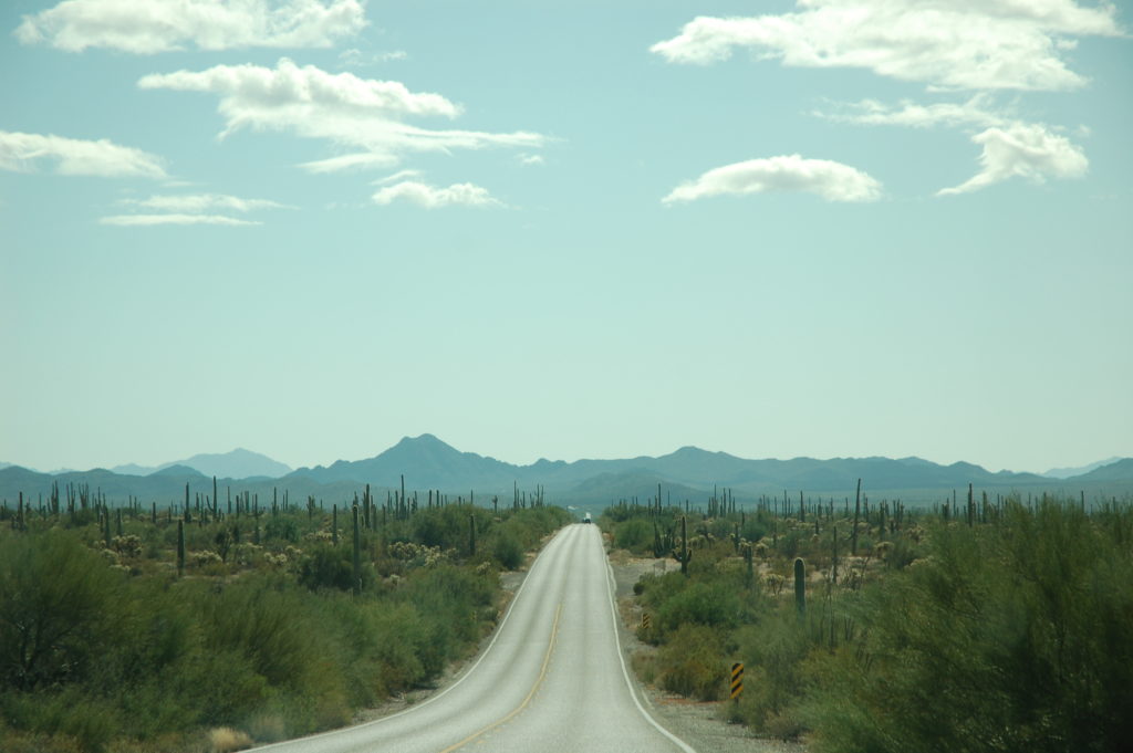
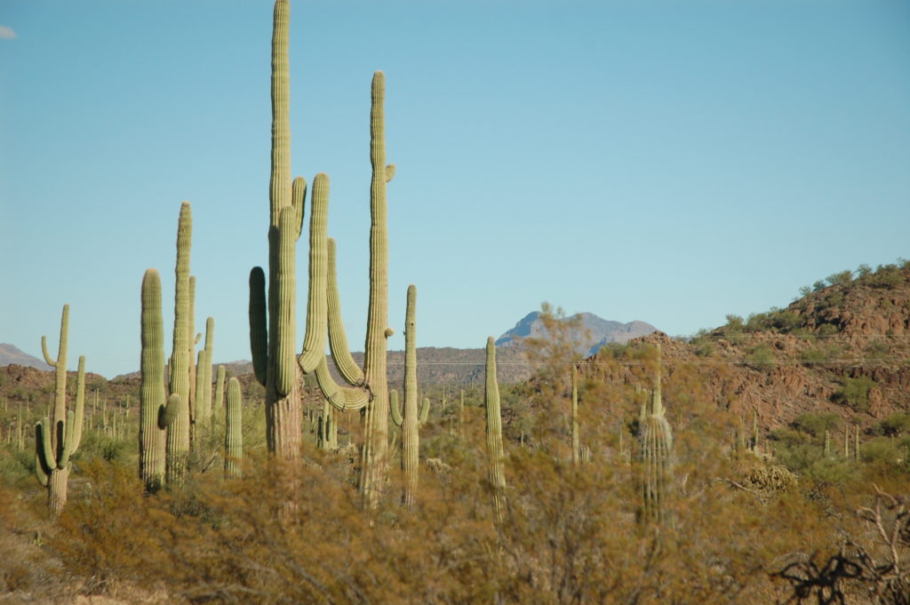
Arizona 85, headed south from the park entrance toward the Kris Eggle Visitor Center.

Organ Pipe Cactus National Monument scenery along Arizona 85

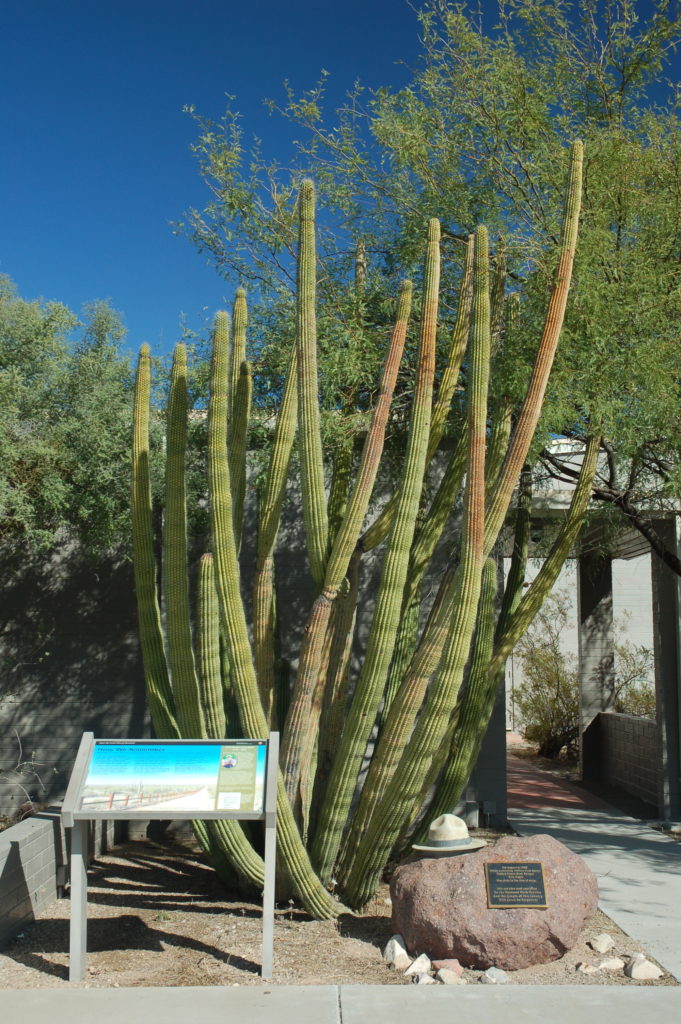
Kris Eggle memorial at the Organ Pipe Visitor Center

We did not realize just how much area Organ Pipe Cactus NP covered until we were looking at the map at the visitor center. After conferring with the ranger behind the desk, we decided to take a couple of drives and will save the hikes for a later visit.

From the Visitor Center, we headed up Puerto Blanco Drive for 5 miles. The road was well-maintained gravel with some paved portions.
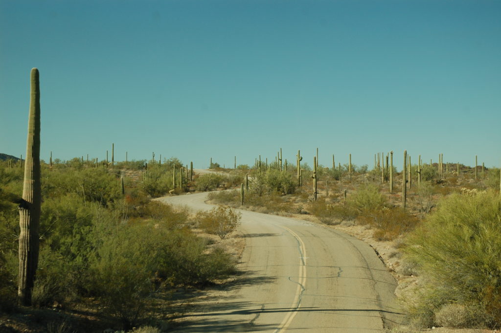
Heading north on Puerto Blanco Drive, between the visitor center and the picnic area.

We drove 5 miles up Puerto Blanco Drive to where the one-way portion of the road began. To drive the Puerto Blanco Drive loop in its entirety would total 52 miles. There are many hiking opportunities off of this loop, including points of interest such as natural springs, tanks, and mines, but we just did not have enough time to do anything more than a quick drive through on this visit.

While all that we were seeing was beautiful, we really did not see anything on this 10-mile round trip that we did not see on the way into the park on Arizona 85. In retrospect, we would have made better use of that time by using it on the Ajo Mountain Drive loop, where we ran out of daylight.
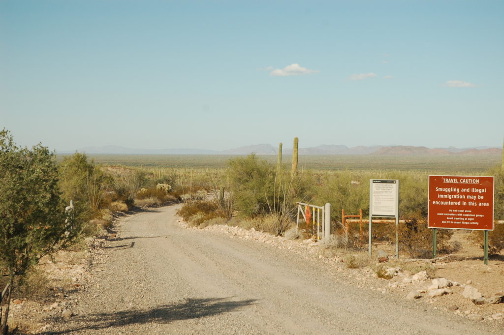
To drive beyond this gate would have committed us to another 47 miles than we had time for on this trip.

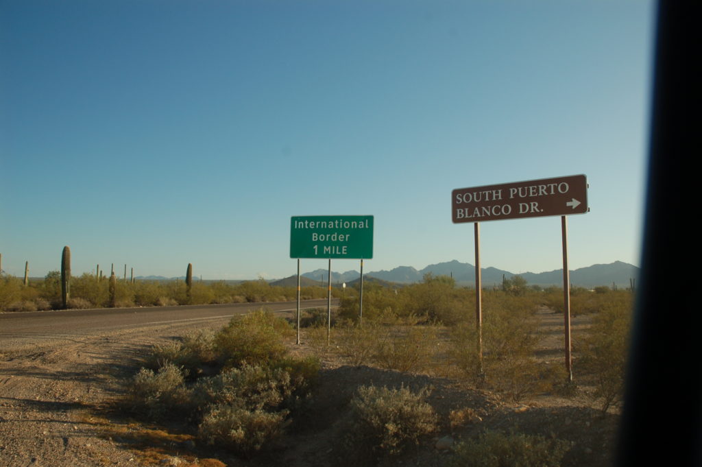
After getting back to 85, we turned south and drove the approximately 5 miles to the other end of Puerto Blanco Drive. To be completely honest, this was mostly out of curiosity to see the new border fence that was under construction. We followed the South Puerto Blanco Drive road as far as the Senita Basin access road.
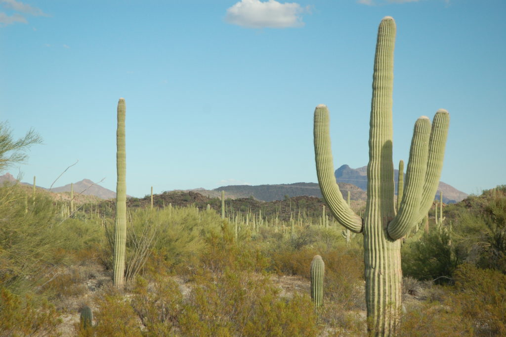
One of only a handful of cactus that we saw on our wanderings that looked like a “typical” cactus with upward-pointing arms.

This was as far south as we went on Arizona Route 85.

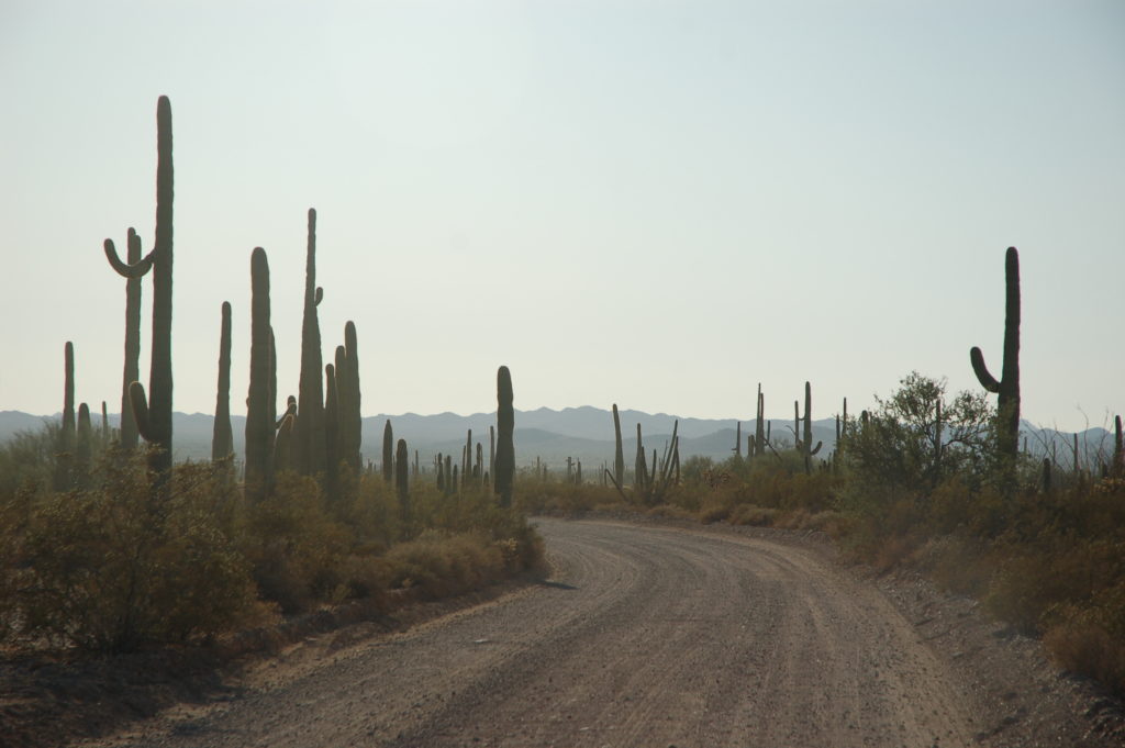
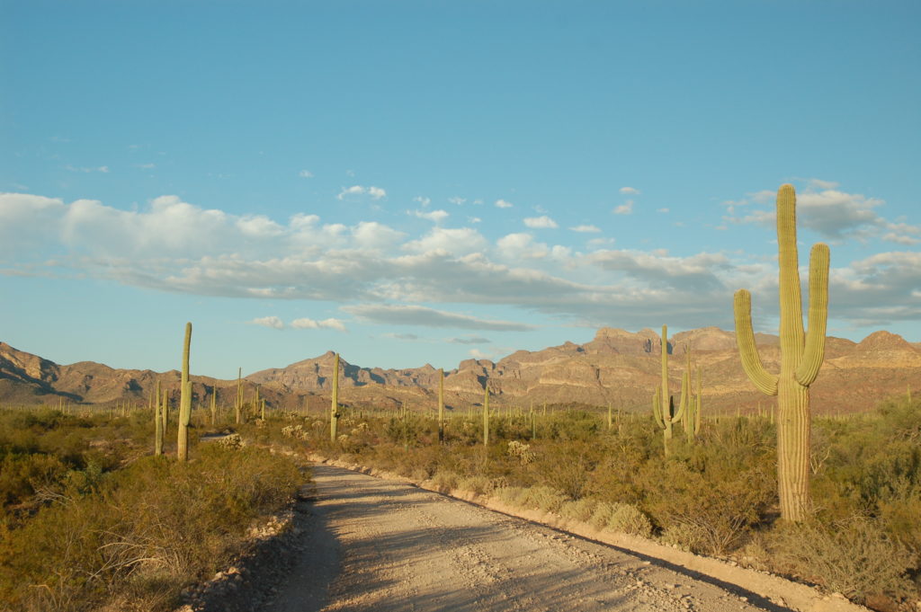
Driving through a saguaro forest along South Puerto Blanco Drive

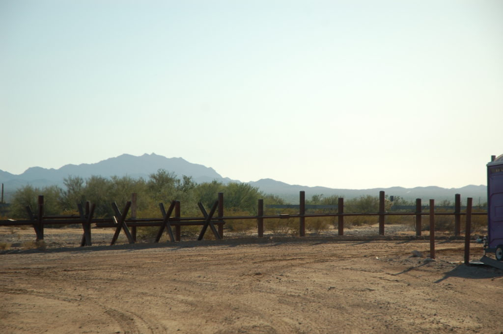
Vehicle barrier fence along the border, installed in 2007.

We drove to within 100 feet of Mexico and past where the new fence was under construction.

After the out-and-back detour to check out the border fence, we headed back north on Route 85 to the Ajo Mountain loop drive, which begins directly across the highway from the visitor center.

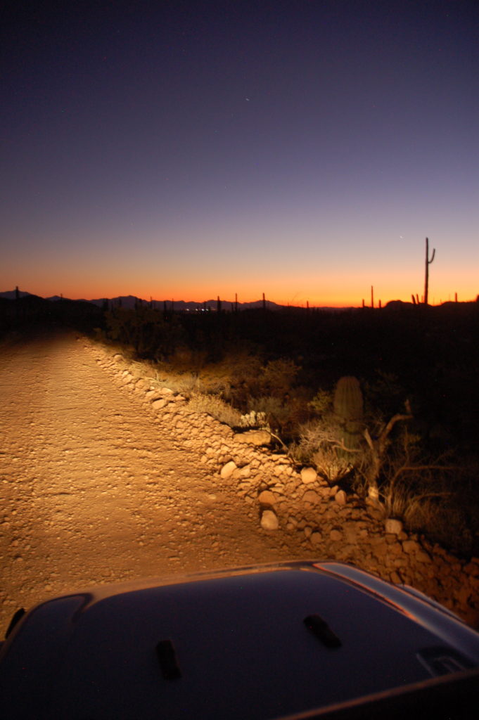
The first 2 miles of the Ajo Mountain Drive was two-way, then the road splits for a 17-mile one-way loop. We made it about half way through this loop before the sun set and it began to get dark really fast.
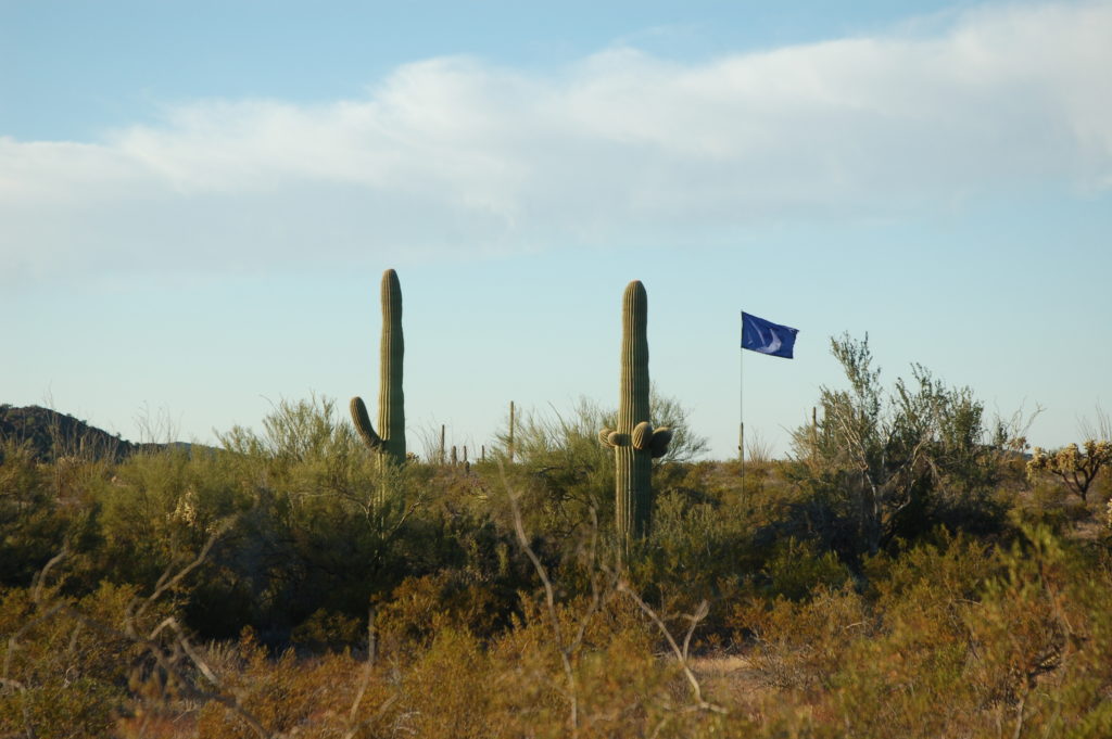
We noticed a couple of these blue flags flying as we drove through more remote areas of the park. While not visible here, the other flag that we saw had a large blue barrel at its base. We had to do some internet searching when we got back to a computer to find out that these were water stations for migrants, placed by a non-profit humanitarian organization..

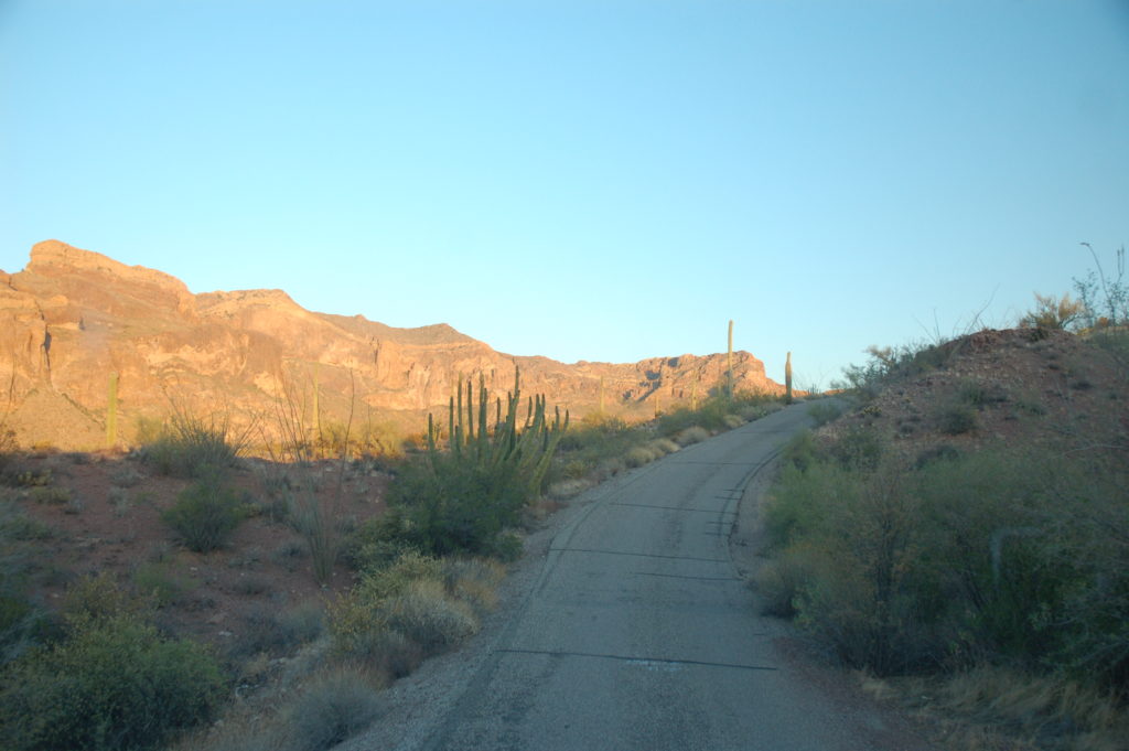
Along the Ajo Mountain Loop Drive

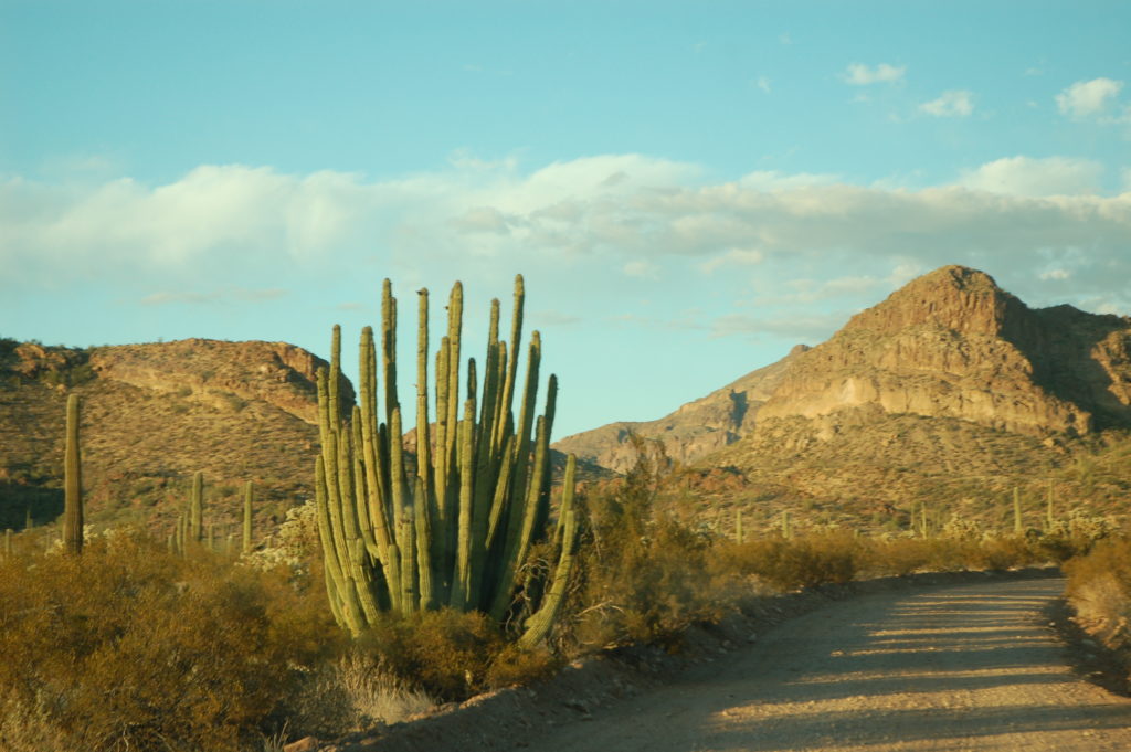
An Organ Pipe Cactus that we passed on the Ajo Mountain Loop. This was one of the healthier examples of this type of cactus that we saw.

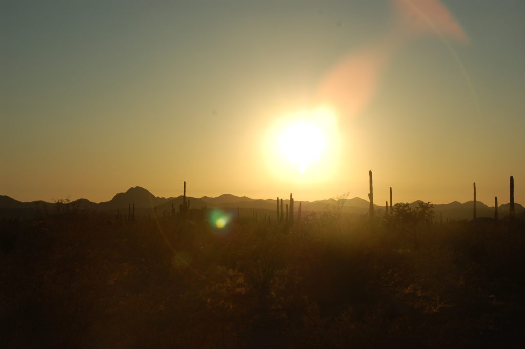
Sun setting over the Puerto Blanco Mountains

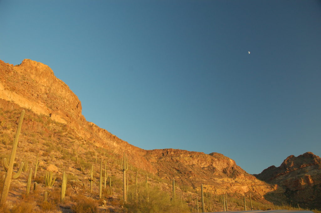
Moon appearing over the Ajo Mountains

Some portions of the Ajo Loop Drive were paved. These are probably portions of the road that would be prone to washout. There were a few tight turns (especially in conjunction with steeper grades) that warranted the restriction of a maximum 25 foot vehicle length on this road.

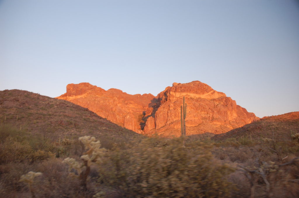
Ajo Mountains glow red in the sunset

This specific Organ Pipe Cactus was one that a virtual geocache brought us to, and judging by the photos in that geocache’s log, it was a much healthier specimen not too many years ago. For as bad as this cactus looks overall, it does have a half-dozen very healthy-looking arms, so maybe there is hope for this one yet.

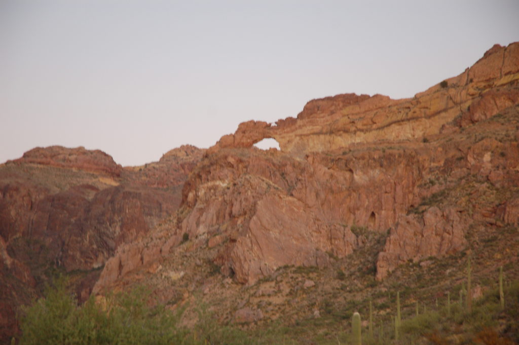
Looking up over the appropriately named Arch Canyon at a natural arch. If we had more time, the hike to the arch– just over one mile round-trip — is a shorter hike that we would have considered. With a 200-foot elevation change in just over half a mile, it would not have been an “easy” hike, though.

More than half of the vehicles that we saw while at Organ Pipe Cactus NM were official government vehicles of some sort, mostly Border Patrol. This F-150 was parked at the Arch Canyon trailhead,when we pulled in, and it passed us a couple of miles further down the loop road as we were headed back to Route 85.

The sun has set and we’re still on the Ajo Mountain Loop Road.