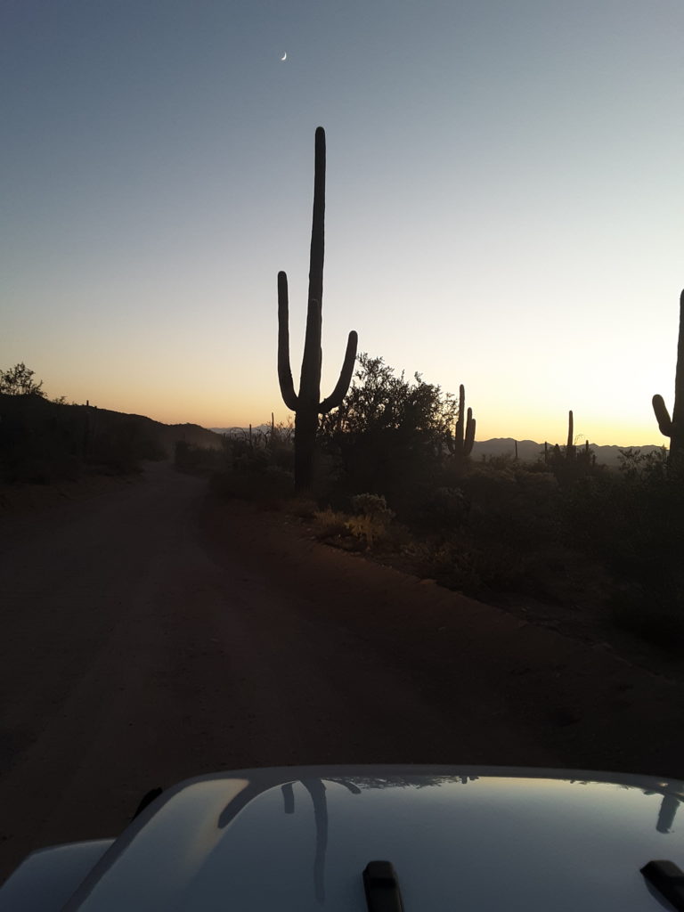
Tucson Mountain District
One of the things that we did not realize as we were planning our trip was that Saguaro National Park is comprised of two districts. In fact, we did not learn this until we arrived at the Red Hills Visitor Center and were talking to the ranger

We checked out of our hotel and left Flagstaff so that we could stop at the Oak Creek Canyon overlook when it opened at 9:00. This put us in to Saguaro NP West District (Tuscon Mountain District) around 1:00, after a relatively leisurely drive south on I-17 to Phoenix and I-10 toward Tuscon.
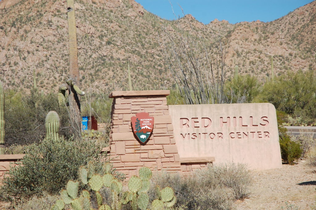
We spent a short time at the Red Hills Visitor Center, getting our Passport Stamps, browsing the gift shop, and watching the film. Of all of the NPS films we have seen, this one left us wanting more. We appreciate the cultural tie-ins, but this film told us very little about the park itself. We better enjoyed the film that played at the Rincon District Visitor Center.
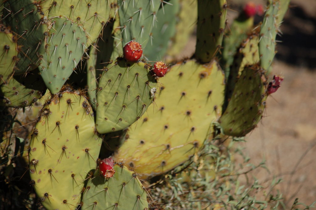
From the Red Hills Visitor Center, we drove back north a bit and hiked the short Desert Discovery Nature Trail. It is a loop that is less than a half-mile, paved and level. This trail had several informational signs along the way, and it was a great introduction to the many types of cactus and other plant and wildlife that are native to the area.
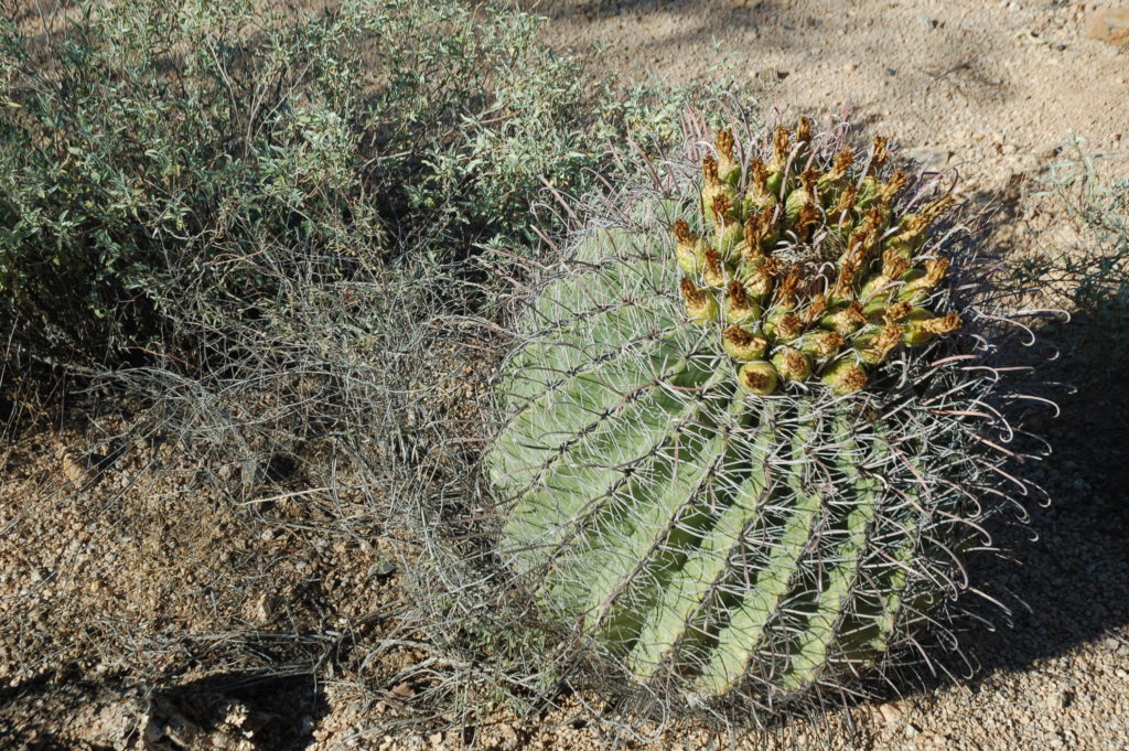
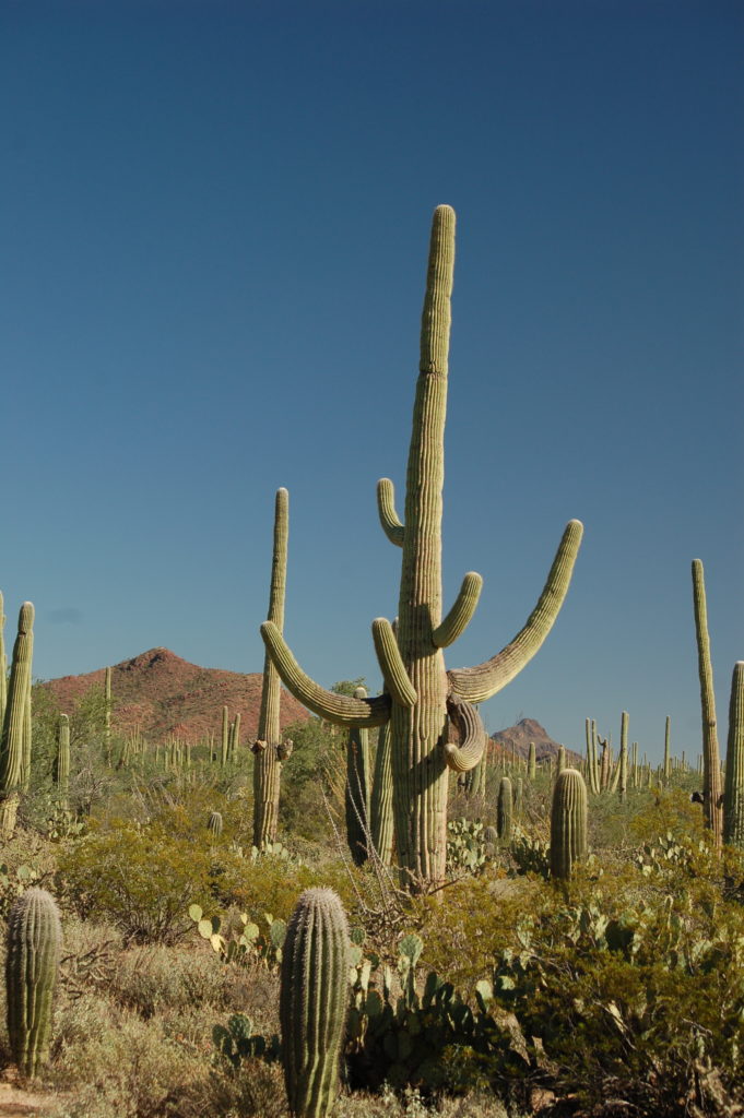
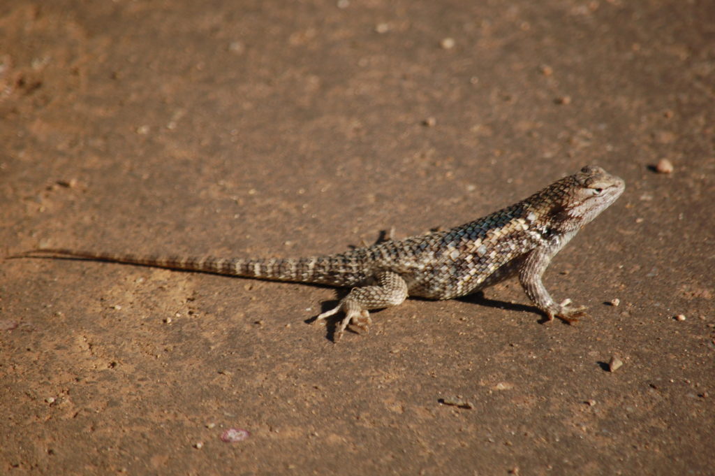
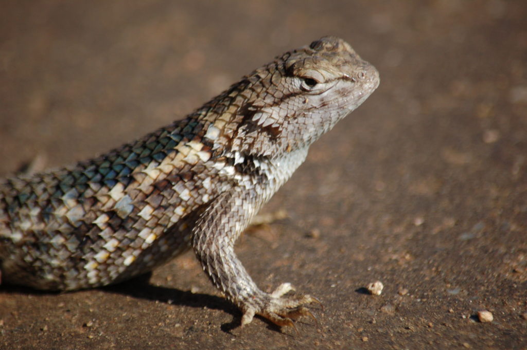
We learned that there are two rainy seasons in the Sonoran Desert, one in Spring and one in early Fall. We were able to catch the tail-end of the bloom that resulted from the September monsoons.

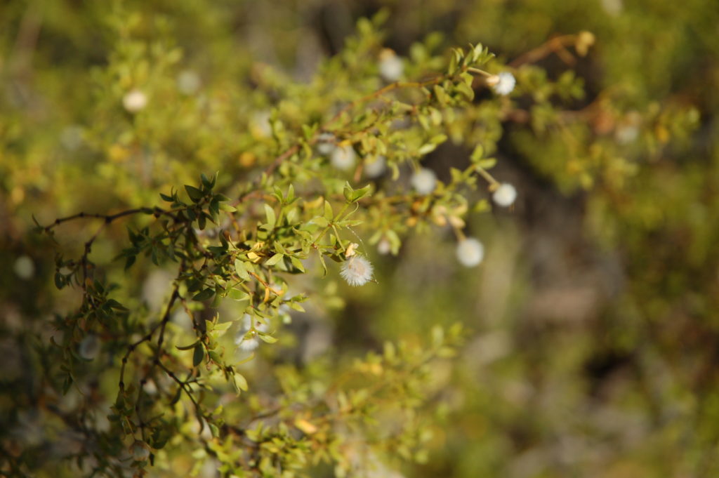
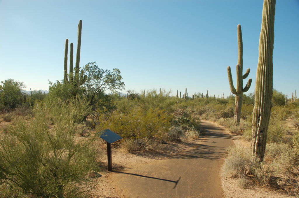
After finishing the Desert Discovery Nature Trail loop, we got back in the Jeep and continued north for a few hundred feet, where we turned off of the pavement and onto the dirt Hohokam Road.
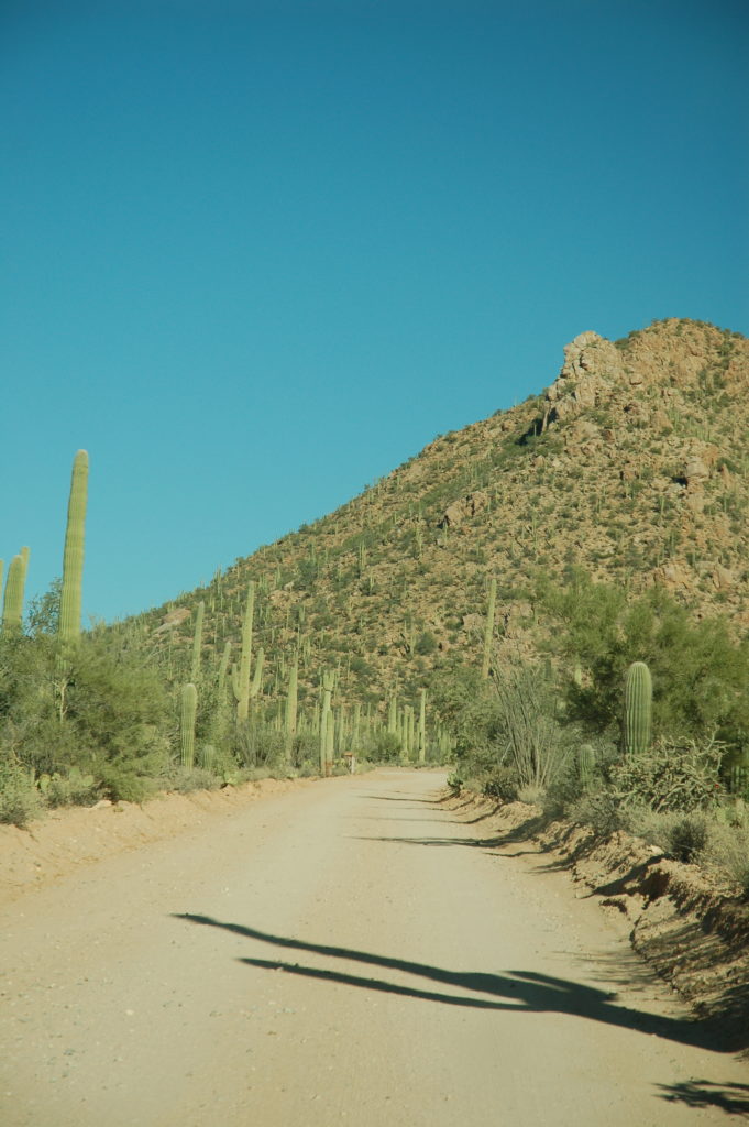

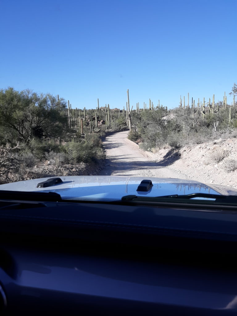
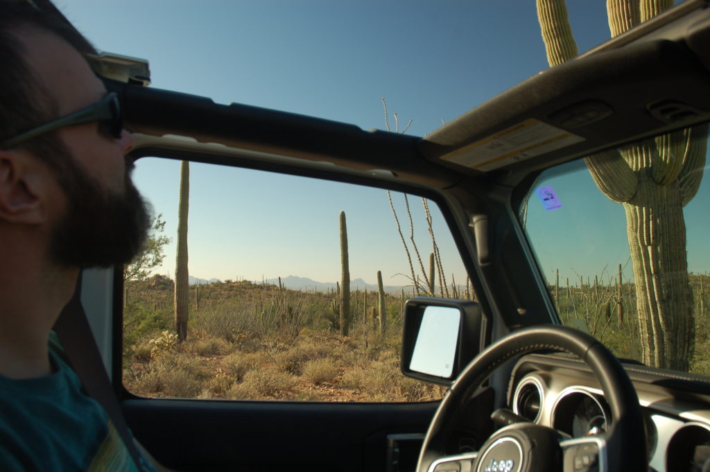
We had to choose our hikes carefully, we wanted to maximize the daylight hours that we had. We hiked the Valley View Overlook Trail, which was well marked and had interesting informational signs along the first portion of the trail. This hike was less than a mile (total) out and back to the parking area.
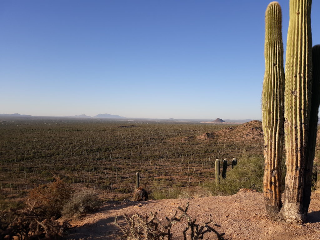
There was just enough daylight left after the Valley View Overlook Trail that I thought we could get a Virtual Geocache that was located in the park. We drove up as far as the Ez-Kim-In-Zim picnic area while scouting out the best approach. I wound up deciding that the old roadbed (barely recognizable as a road, even though the Garmin GPS wanted us to drive out of the park that way!) would work. I wound up jogging most of the way along a wash, got the information I needed to log the cache, then jogged back to the Jeep. What I saw on this quick jaunt made me want to see more. Next time we’re here, we will have to spend a couple of days hiking the trails around here!

